Tag Archives: research

Multi-UAV flights for simultaneous meteorological measurements

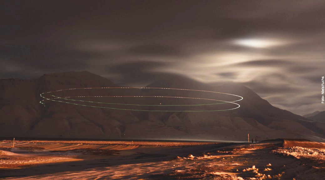
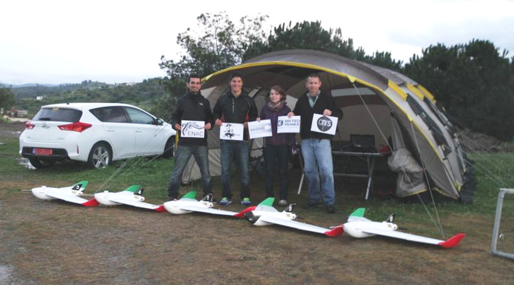
ENAC UAV Lab team and Meteo-France (CNRS-GAME and ENM) teams have spent several days at the Atmospheric Research Center of Lannemezan (in the south of France) in order to perform experiments for simultaneous meteorological measurements through multi-UAV flight.

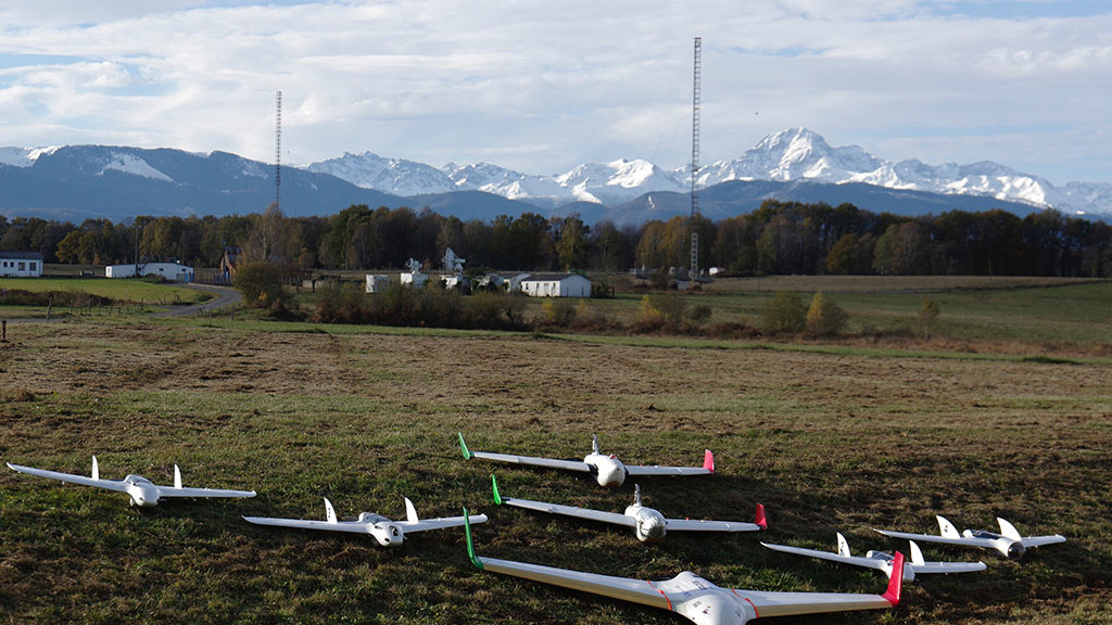
This was part of a research project called VOLTIGE aimed at studying the formation of cloud and fog events. One of the planes is measuring the turbulence near the ground, a second plane is flying above the cloud or the fog with a radiation sensor and the last one is making a vertical profile of temperature, pressure and humidity up to 1500 meters AGL.GCS screenshot multi-uav

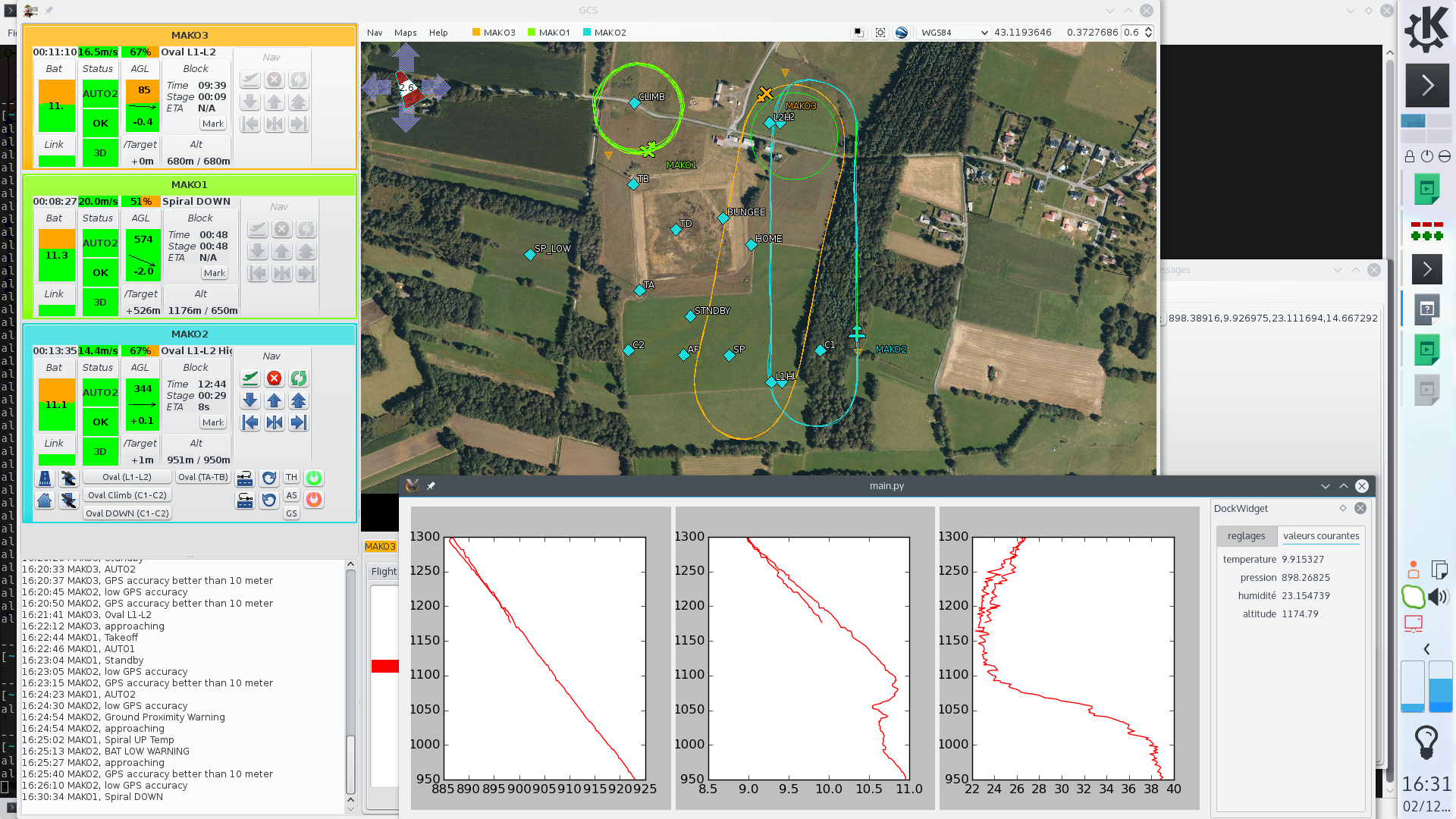
All the planes were controlled by Paparazzi UAV Apogee boards, with on-board logging on SD cards and navigation patterns triggered by sensors readings.

Facebooktwittergoogle_plusredditFacebooktwittergoogle_plusreddit
Facebooktwittergoogle_plusrssyoutubeFacebooktwittergoogle_plusrssyoutube

Paparazzi at the National Center for Meteorological Research

Cyprus_X6_fleetThe National Center for Meteorological Research (CNRM-GAME, Toulouse, France) conducted an airborne experiment in Cyprus in March 2015 as part of the BACCHUS project. The main goal of CNRM‘s contribution is to complement the ground-based observations of aerosol and cloud condensation nuclei with airborne measurements to characterize the vertical distribution of aerosol, radiative fluxes, 3D wind vectors and meteorological state parameters. As payloads were limited to 500g (and total weight < 2.5kg), multiple RPAS (remotely piloted aircraft systems) were instrumented for a specific scientific focus. The Paparazzi system was used to navigate the RPAS. During the campaign, airborne measurements were taken over 4 weeks (5 March to 2 April, 2015) with 52 research flights and 38 hours of flight time. Vertical profile were regularly sampled up to 2100 m.asl (limited by authorized flight ceiling) and often observed the layers of dust originating from the Arabian Peninsula and the Sahara Desert. RPAS profiles generally show a well-mixed boundary layer and compare well with ground-based LIDAR observations. Flights below and within clouds were also coordinated with satellite overpasses to perform ‘top-down’ closure of cloud micro-physical properties.

Facebooktwittergoogle_plusredditFacebooktwittergoogle_plusreddit
Facebooktwittergoogle_plusrssyoutubeFacebooktwittergoogle_plusrssyoutube