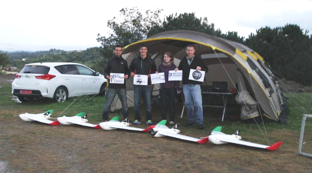
 The National Center for Meteorological Research (CNRM-GAME, Toulouse, France) conducted an airborne experiment in Cyprus in March 2015 as part of the BACCHUS project. The main goal of CNRM‘s contribution is to complement the ground-based observations of aerosol and cloud condensation nuclei with airborne measurements to characterize the vertical distribution of aerosol, radiative fluxes, 3D wind vectors and meteorological state parameters. As payloads were limited to 500g (and total weight < 2.5kg), multiple RPAS (remotely piloted aircraft systems) were instrumented for a specific scientific focus. The Paparazzi system was used to navigate the RPAS. During the campaign, airborne measurements were taken over 4 weeks (5 March to 2 April, 2015) with 52 research flights and 38 hours of flight time. Vertical profile were regularly sampled up to 2100 m.asl (limited by authorized flight ceiling) and often observed the layers of dust originating from the Arabian Peninsula and the Sahara Desert. RPAS profiles generally show a well-mixed boundary layer and compare well with ground-based LIDAR observations. Flights below and within clouds were also coordinated with satellite overpasses to perform ‘top-down’ closure of cloud micro-physical properties.
